CQ is a living land, where stone and sea have shaped each other for millions of years in a titanic dance with the Cantabrian waves.
Today, it is a realm cherished by those who call it home and those who journey to its shores—a place where vibrant culture thrives, and where the Earth’s ancient story rises as the true protagonist
Videos
El Geoparque Mundial UNESCO Comarca Minera, Hidalgo, México, abarca 1900 km² con 31 geositios. Su geología volcánica dio origen a yacimientos minerales y paisajes únicos que fomento un desarrollo económico y social muy importante. Las líneas de acción promueven la geoeducación, la inclusión, la ciencia para niñas y niños, la conservación y cuidado del patrimonio, así como el desarrollo sustentable y sostenible local.
In the geopark we find geological phenomena and places that are only found here or in a few places in the world, such as; the peneplane with its flat bedrock surface, the table mountains which with their unique rock layers rise from the plain landscape and ice age deposits that create an incomparable landscape.
Geofest 2026, hosted by Toba Caldera UGGp, Raja Ampat UGGp, and Lenggong aspiring UGGp, celebrates indigenous communities as key to bridging geological, biological, cultural, and archaeological heritage. This platform honors Earth’s history and indigenous wisdom, fostering sustainability and cultural preservation
Geofest 2026, hosted by Toba Caldera UGGp, Raja Ampat UGGp, and Lenggong aspiring UGGp, celebrates indigenous communities as key to bridging geological, biological, cultural, and archaeological heritage. This platform honors Earth’s history and indigenous wisdom, fostering sustainability and cultural preservation (subs)
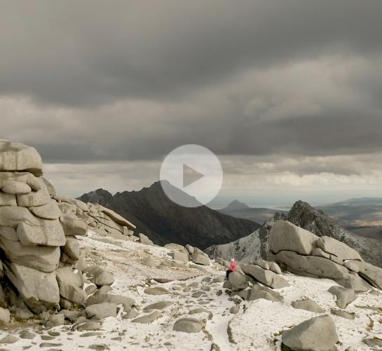
Arran is an island off the southwest coast of Scotland, just a couple of hours from Glasgow, and only accessible by boat. Arran has scenery that will blow your socks off, wildlife and nature that rival anywhere else in Scotland, world famous produce, and lots of space to really embrace Scottish island life.
TERRA.vita! The name of the Nature and Geopark can be translated as the “Life Story of the Earth” -and that story is 300 million years long. Located in a 1,560 m² large hilly landscape of northwestern Germany, TERRA.vita looks into its geologic past, to understand today’s challenges to learn acting sutainable for a bright future
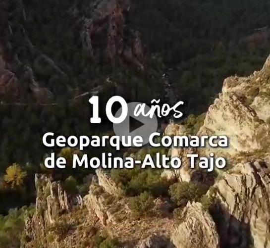
In this video, several groups of Geopark´s people greeting for 10th anniversary
Here, a sustainable way of life welcomes visitors and new residents. Explore an authentic land shaped by the Earth, embraced by the Seas, and told through its People. Algarvensis Geopark - one territory, several seas to discover!
The gastronomy in the Terras de Cavaleiros UGGp stands out for its authenticity.
The incredible geological heritage of the Chablais is expressed through impressive landscapes, cultural wealth and human traditions. Working with communities, local stakeholders, schools and scientists, the Chablais UGGp engages with societies most pressing challenges: sustainability, nature, risk reduction and climate.
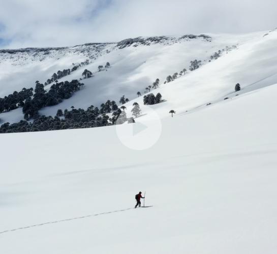
Kütralkura UNESCO Global Geopark, in Chile’s Andean Araucanía, means “Stone of Fire” in Mapudungun, the Mapuche language. Home to six active volcanoes and unique biodiversity, it’s inhabited by the Mapuche people for over 2,000 years. Carlos Catrileo, a Pewenche guide, preserves the ancestral craft of snowshoes called “mawllo”.
Lesvos Island is the third largest Greek island. Lesvos’ Petrified Forest, its unique wealth of geological monuments, landscapes of natural beauty, areas of ecological value and its rich archaeological and cultural heritage have contributed to the island’s recognition as UNESCO Global Geopark.
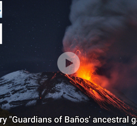
The Tungurahua Volcano Geopark is located in central Ecuador, comprising two provinces: Tungurahua and Chimborazo, and five participating cantons: Baños, Patate, Pelileo, Guano, and Penipe. It covers an area of 2,397 km2, has 20 geosites, six volcanoes, and 25 geofriends. It boasts geological, tourist, and cultural riches.
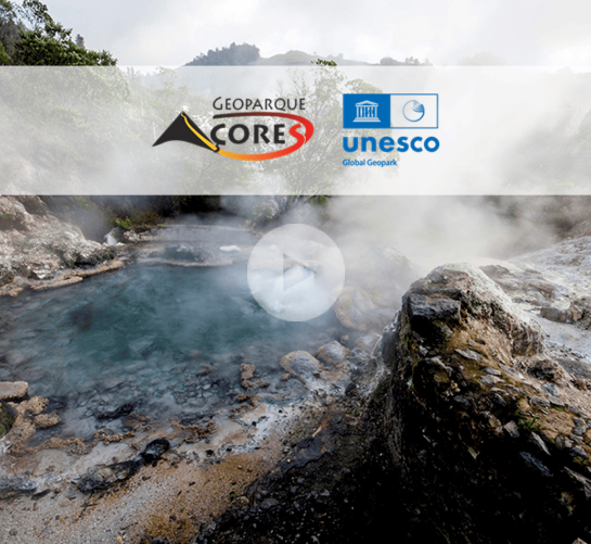
The Azores UNESCO Global Geopark includes 122 geosites across nine volcanic islands, islets, and the surrounding seafloor, showcasing unique geological features shaped by volcanic activity. The Azorean identity is deeply rooted in a rich cultural and historical heritage closely tied to this dynamic landscape.
The Azores UNESCO Global Geopark includes 122 geosites across nine volcanic islands, islets, and the surrounding seafloor, showcasing unique geological features shaped by volcanic activity. The Azorean identity is deeply rooted in a rich cultural and historical heritage closely tied to this dynamic landscape. (Subtitles)
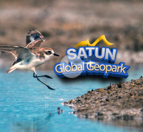
The Link Between Geology and Biodiversity in Satun UNESCO Global Geopark Satun UNESCO Global Geopark is renowned for its outstanding geological features, particularly its ancient rock formations and fossils dating back over 500 million years. These features not only tell the story of Earth’s evolution but also form the foundati
Maros pangkep UNESCO Global Geopark located in Maros and Pangkep Regencies, South Sulawesi, + 30 Km From Makassar City, as the main gateway to eastern part of indonesia and has sultan hasanuddin international airport. MPUGGp is crossed by the walace line, stretching over an area of 5.257,3 KM2, consisting of 44,6% land and 55,4%
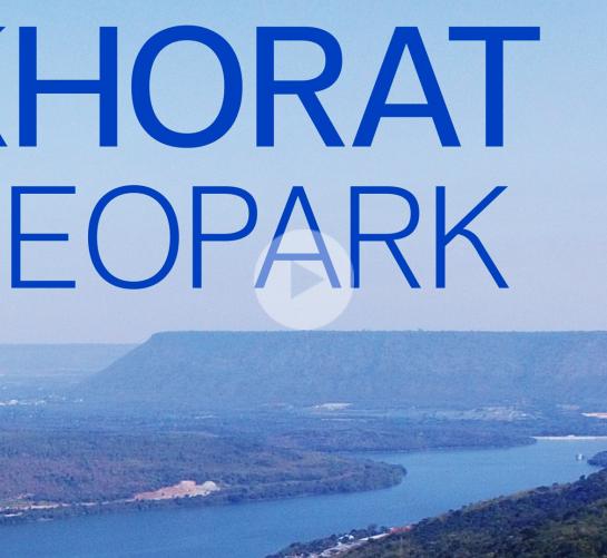
Welcome to Cuesta and Fossil Land – a journey back in time to the ancient world... Welcome to Khorat UNESCO Global Geopark. This land is a geological and cultural treasure – shaped by dramatic cuesta landscapes, rich deposits of fossilised elephants, and forests that bridge dry dipterocarp and dry evergreen ecosystems. Here, the
As the Philippines' First and Only UNESCO Global Geopark, the island of Bohol embodies Sustainable Development Goals in action—from education and ecosystem protection to empowering local livelihoods and climate action. Here, sustainability is not just a word—it's a way of life. Come home to Bohol Island UNESCO Global Geopark. subs
As the Philippines' First and Only UNESCO Global Geopark, the island of Bohol embodies Sustainable Development Goals in action—from education and ecosystem protection to empowering local livelihoods and climate action. Here, sustainability is not just a word—it's a way of life. Come home to Bohol Island UNESCO Global Geopark.
Beppu Benten Pond is a geological site of Miné-Akiyoshidai Karst Plateau aUGGp in Japan. Watch our poster (collaboratively designed with a Geopark Partner) come to life in this video, as we highlight how the pond’s spring water has inspired local livelihoods, practices, and traditional cultures for generations. subs
Beppu Benten Pond is a geological site of Miné-Akiyoshidai Karst Plateau aUGGp in Japan. Watch our poster (collaboratively designed with a Geopark Partner) come to life in this video, as we highlight how the pond’s spring water has inspired local livelihoods, practices, and traditional cultures for generations.
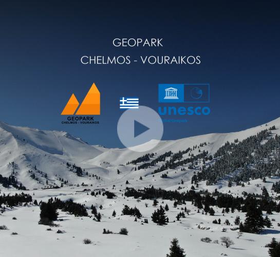
A geopark jewel, an endless puzzle, from the blue of the Corinthian Gulf to the dazzling white of the peaks of Helmos!
And a celebration of nature exists in the Vouraikos Gorge with the unique cogwheel train!
In the hieroglyphics of the earth, in the mythical waterfalls of Styx where the Olympian gods, even this Sun, swore!
subs
A geopark jewel, an endless puzzle, from the blue of the Corinthian Gulf to the dazzling white of the peaks of Helmos!
And a celebration of nature exists in the Vouraikos Gorge with the unique cogwheel train!
In the hieroglyphics of the earth, in the mythical waterfalls of Styx where the Olympian gods, even this Sun, swore!
The Khorat Geopark, located on the edge of the Khorat Plateau in Nakhon Ratchasima Province, Thailand, is a veritable paleontological wonderland. A key feature of the Khorat Geopark is the abundance and diversity of fossils, particularly fossil mammals, reptiles, and petrified wood from the Neogene to Quaternary periods.
Enshi Grand Canyon-Tenglongdong Cave UNESCO Global Geopark is located in Enshi City and Lichuan City of Enshi Tujia and Miao Autonomous Prefecture,Hubei Province,China. The total area of the geopark is 679.19 square kilometers. It is a large-scale geopark with karst landforms and structural landforms as the core.
Enshi Grand Canyon-Tenglongdong Cave UNESCO Global Geopark is located in Enshi City and Lichuan City of Enshi Tujia and Miao Autonomous Prefecture,Hubei Province,China. The total area of the geopark is 679.19 square kilometers. It is a large-scale geopark with karst landforms and structural landforms as the core. subs
The area’s spectacular beauty has been forged by nature, torn apart by volcanic activity and sculpted by ice, providing a stunning backdrop to remarkable people and places. This dramatic and thriving landscape is where people live and work every day. A warm welcome awaits you in Mourne Gullion Strangford Geopark.
The Sarawak Delta Geopark (SDGp), the first geopark developed in Sarawak, covering 3,112km2 is home to diverse Indigenous communities, such as the Iban, Bidayuh, and Malays living in a heterogeneous landscape of urban, agricultural, natural forest, and conservation areas.
Famous throughout the world for its wines and vineyards, the Beaujolais is also a region shaped by man, who has reaped the benefits of the soil's diversity. Its past is literally written in stone: in the golden, red, white, grey or black rocks and stones that have visibly been put to good use in local construction.
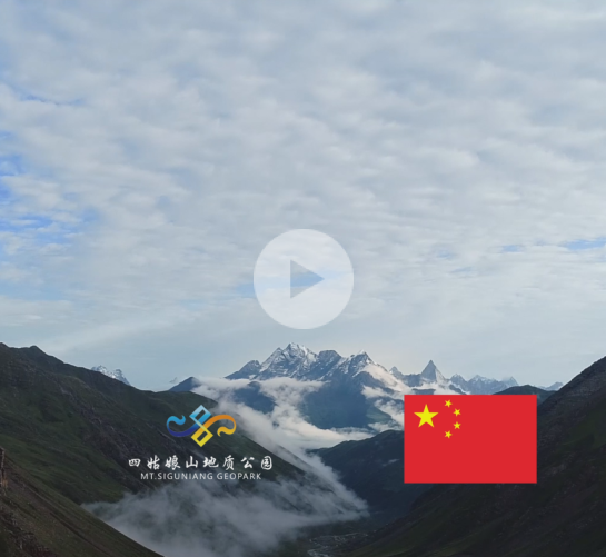
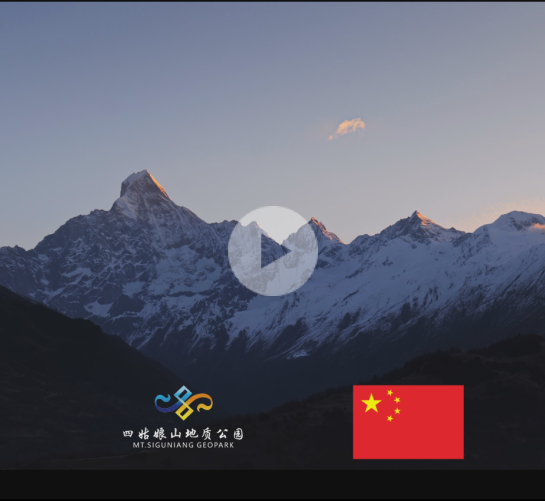
The Siguniang Mountain Geopark is renowned as the "Holy Mountain of the East" and an "outdoor paradise." It is not only an ideal destination for leisure and recreation but also a haven for nature lovers and adventurers. The park boasts exceptional mountain outdoor resources, unparalleled in the country, featuring snow-capped peaks, forests, lakes, meadows, waterfalls, and streams scattered throughout, blending harmoniously to create a natural setting perfect for a variety of comprehensive outdoor activities at different levels.The park’s most distinctive feature is its terraced peaks, which form diverse climbing routes categorized into beginner, intermediate, and professional technical levels, varying in difficulty. These routes cater to the needs of both casual climbing enthusiasts and professional mountaineers. subs
The Siguniang Mountain Geopark is renowned as the "Holy Mountain of the East" and an "outdoor paradise." It is not only an ideal destination for leisure and recreation but also a haven for nature lovers and adventurers. The park boasts exceptional mountain outdoor resources, unparalleled in the country, featuring snow-capped peaks, forests, lakes, meadows, waterfalls, and streams scattered throughout, blending harmoniously to create a natural setting perfect for a variety of comprehensive outdoor activities at different levels. The park’s most distinctive feature is its terraced peaks, which form diverse climbing routes categorized into beginner, intermediate, and professional technical levels, varying in difficulty. These routes cater to the needs of both casual climbing enthusiasts and professional mountaineers.
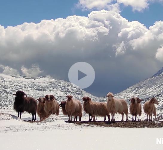
The geopark exposes the tremendous mountain building and still active geological processes that shape the landscape of Psiloritis, giving birth to extraordinary landforms like sinkholes, caves, gorges, and plateaus. At the Emblematic Nida Plateau unique species found shelter and thrived, as well as humans for several millennia.
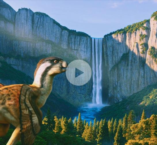
The Oeste UNESCO Global Geopark covers 6 municipalities, with 72 km of coastline and outstanding geological heritage, including dinosaur fossils, over 70 geosites, and a “Golden Spike”. Based on this heritage, it promotes sustainable development for over 212,000 inhabitants.
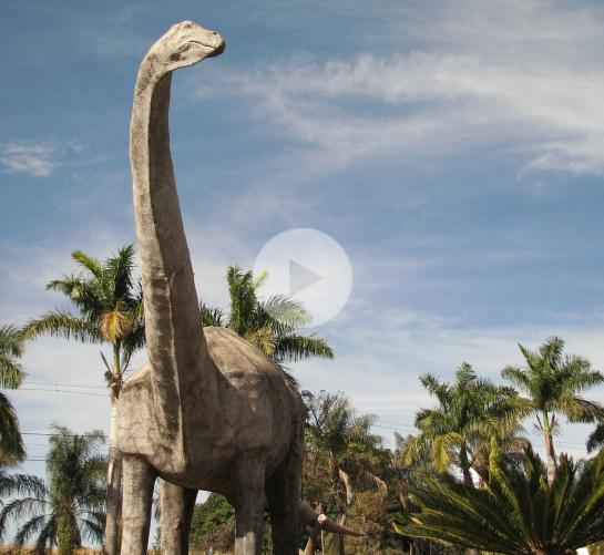
Uberaba Geopark is a territory located in southeastern Brazil that uniquely integrates rich geological heritage, especially related to the Cretaceous period, with vibrant cultural traditions, scientific research, and rural landscapes.
China Funiushan UNESCO Global Geopark lies in the hinterland of Funiu Mountain Range in Henan province. with those partsof the mountain located respectively in counties of Xixia, Neixiang, Luanchuan, Songxian and Nanzhao as its main body, theGeopark covers an area of 5858.52 Square kilometers. subs
China Funiushan UNESCO Global Geopark lies in the hinterland of Funiu Mountain Range in Henan province. with those partsof the mountain located respectively in counties of Xixia, Neixiang, Luanchuan, Songxian and Nanzhao as its main body, theGeopark covers an area of 5858.52 Square kilometers.
Lokasi Geopark berada di Kabupaten Sijunjung, Sumatera Barat, Indonesia, yang memiliki nilai geologi batuan kars yang berumur permian, keragaman biologi hutan hujan tropis dan keragaman budaya matrilinial minangkabau. saat ini sedang diajukan untuk menjadi anggota unesco global geopark
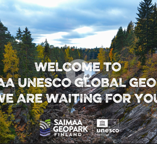
Saimaa UNESCO Global Geopark, located in the South Karelia and South Savo provinces, takes the visitor on an adventure into the origin story of the pure lake landscape. It brings together Saimaa's magnificent natural sites, charming hiking trails, historic cultural sites and offers a variety of activities all year round.
Lushan UGGp is one of the first members of GGN. Her unique and complex multi-genetic landforms are composed of typical east China’s mountain quaternary glaciations, horst fault blocking and MCC structural relics landforms. Lushan is a perfect union of geo-heritage, history, culture, nature and landscape. with subs
Lushan UGGp is one of the first members of GGN. Her unique and complex multi-genetic landforms are composed of typical east China’s mountain quaternary glaciations, horst fault blocking and MCC structural relics landforms. Lushan is a perfect union of geo-heritage, history, culture, nature and landscape.
no subtitles
Lushan UGGp is one of the first members of GGN. Her unique and complex multi-genetic landforms are composed of typical east China’s mountain quaternary glaciations, horst fault blocking and MCC structural relics landforms. Lushan is a perfect union of geo-heritage, history, culture, nature and landscape.
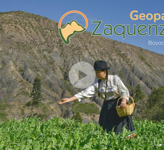
El Geoparque Zaquenzipa es una iniciativa de desarrollo territorial sostenible que busca el reconocimiento como Geoparque Mundial de la UNESCO para la región del Alto Ricaurte en Boyacá (Sáchica, Villa de Leyva, Santa Sofía y Sutamarchán).
Su objetivo es proteger y promover un patrimonio geológico y paleontológico
El Geoparque Zaquenzipa es una iniciativa de desarrollo territorial sostenible que busca el reconocimiento como Geoparque Mundial de la UNESCO para la región del Alto Ricaurte en Boyacá (Sáchica, Villa de Leyva, Santa Sofía y Sutamarchán).
Su objetivo es proteger y promover un patrimonio geológico y paleontológico.
subs
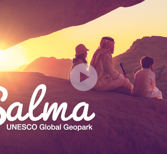
TNorth Riyadh’s rocky plateaus hold stories etched in stone. Shaped by time and tradition, the land reflects generations of care, where geology and cultural pride come together to define identity.
TNorth Riyadh’s rocky plateaus hold stories etched in stone. Shaped by time and tradition, the land reflects generations of care, where geology and cultural pride come together to define identity. subs
Experience authentic Saudi culture, stunning geology, and unforgettable moments in this UNESCO recognized destination. Ready for a journey that inspires every generation?
Experience authentic Saudi culture, stunning geology, and unforgettable moments in this UNESCO recognized destination. Ready for a journey that inspires every generation? subs
M'Goun UNESCO Global Geopark, located in the Central High Atlas of Morocco, features stunning geological formations, diverse landscapes, and rich biodiversity. It highlights the region's geological history and cultural heritage, offering insights into local Amazigh traditions, sustainable tourism, and conservation efforts.
Yandangshan is one of China's renowned "Three Famous Mountains and Five Great Peaks". It is distinguished by its diverse rhyolitic volcanic landforms and it is a comprehensive natural reserve where a millennium of religious history, traditional mountain-water culture, and distinctive stone heritage blend in perfect harmony.
This story is about two representative people living around the Hantangang River. Like the flowing Hantangang River, you can see the continuous relationship between the River and the local residents.
No subtitle version
This story is about two representative people living around the Hantangang River. Like the flowing Hantangang River, you can see the continuous relationship between the River and the local residents.
subtitle version
Located in Shaoguan City of Guangdong Province, China, Danxiashan UNESCO Global Geopark is a World Natural Heritage Site, covering a total area of 292km². It is the namesake of danxia landscape which is characterized by well development of reddish cliffs in the continental conglomerates and sandstones.
Non nuoc Cao Bang UNESCO Global Geopark is located in the north of Vietnam, 300km from Hanoi Capital, and has an area of 3,683km². It includes the total area of Cao Bang city, the districts of Quang Hoa, Trung Khanh, Ha Lang and part of the districts of Ha Quang, Hoa An, Nguyen Binh and Thach An.
Non nuoc Cao Bang UNESCO Global Geopark is located in the north of Vietnam, 300km from Hanoi Capital, and has an area of 3,683km². Non nuoc Cao Bang UNESCO Global Geopark is an exceptional territory in which it’s possible to explore the history of our Planet Earth for over 500 million years through protected sites.
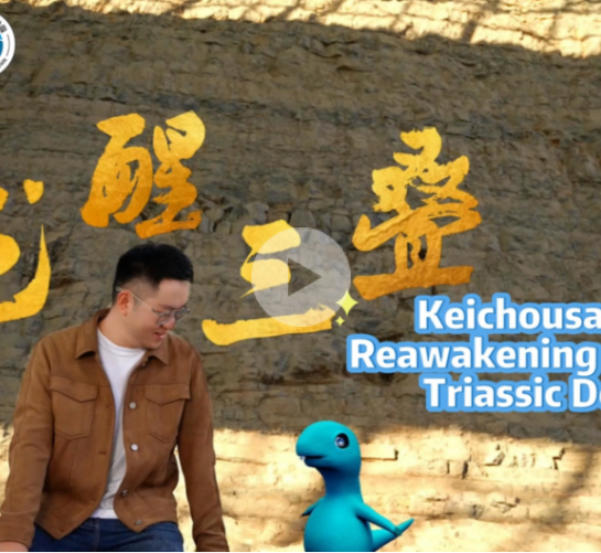
Xingyi UNESCO Global Geopark is located in Xingyi Municipality, Qianxinan Buyi and Miao Autonomous Prefecture, southwest of Guizhou Province, China, it consists of 17 towns and is known as “the Kingdom of Sedimentary Rocks, the Kingdom of Triassic Paleobiology, and the Kingdom of Karst Landforms.
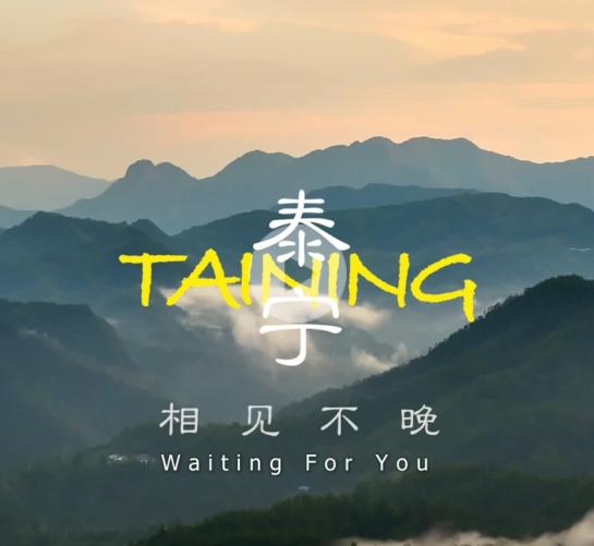
Taining UNESCO Global Geopark is located in Taining County, the northwestern part of Fujian Province, China, with a total area of 492.5 square kilometers. It’s a comprehensive geopark with Danxia landform as the main body, satisfying the purposes of scientific research, scientific education, sightseeing, relaxation and vacation.
Taining UNESCO Global Geopark is located in Taining County, the northwestern part of Fujian Province, China, with a total area of 492.5 square kilometers. It’s a comprehensive geopark with Danxia landform as the main body, satisfying the purposes of scientific research, scientific education, sightseeing, relaxation and vacation.
Xingyi UNESCO Global Geopark is located in Xingyi Municipality, Qianxinan Buyi and Miao Autonomous Prefecture, southwest of Guizhou Province, China, it consists of 17 towns and is known as “the Kingdom of Sedimentary Rocks, the Kingdom of Triassic Paleobiology, and the Kingdom of Karst Landforms.
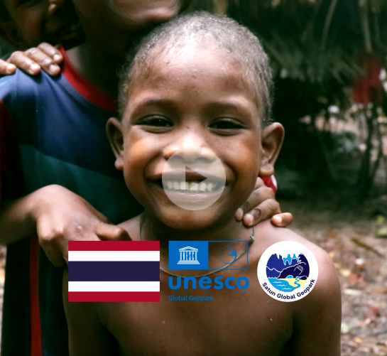
Satun UNESCO Global Geopark in southern Thailand features 500-million-year-old fossils, stunning limestone landscapes, and rich cultural heritage. It is home to the Maniq people—an indigenous hunter-gatherer group living in harmony with the rainforest.
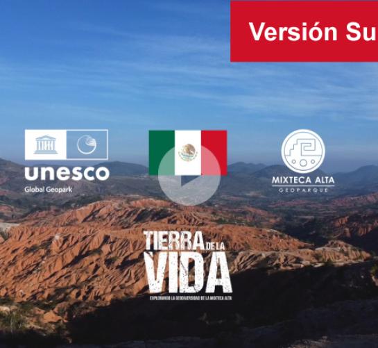
The Mixteca Alta UNESCO Global Geopark showcases unique geological heritage, biodiversity, and Indigenous communal traditions. Its vibrant regional traditions reflect a deep-rooted culture of solidarity and ancestral resilience, which manifests in shared land protection, preserving both natural heritage and ancestral wisdom.
The Mixteca Alta UNESCO Global Geopark showcases unique geological heritage, biodiversity, and Indigenous communal traditions. Its vibrant regional traditions reflect a deep-rooted culture of solidarity and ancestral resilience, which manifests in shared land protection, preserving both natural heritage and ancestral wisdom.
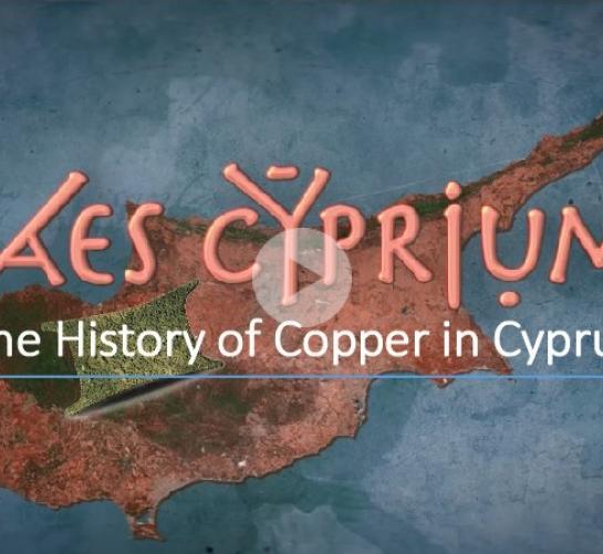
Troodos UNESCO Global Geopark is located in the heart of the island of Cyprus hosting the most significant piece of oceanic crust on Earth. Along the Troodos Mountain foothills are scattered copper sulphide deposits that were intensively exploited in antiquity, forming the island’s economy, prosperity and culture for centuries.
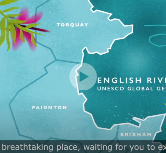
The English Riviera UNESCO Global Geopark, in Devon, UK, is a breath-taking place waiting for you to explore. Around every cove the geology changes, reflecting 400 million years of tropical seas and scorching deserts, a land where mammoths and sabre-toothed cats once roamed alongside the earliest people.
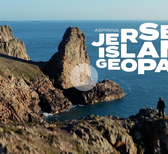
A Symphony of Creation. Beneath your feet lies a story 600 million years in the making. Watch the story of an Island forged by fire, ice and sea. Torn from an ancient landmass and cast into measureless oceans, Jersey is more than an Island - it’s a fragment of Earth’s dramatic history.
Arouca Geopark, located in northern Portugal, is a unique UNESCO Global Geopark known for its stunning landscapes, rich geology, and diverse wildlife. Visitors can explore impressive rock formations, ancient fossils, and enjoy outdoor activities like hiking, rafting and canyoning in a breathtaking natural setting.
A legacy spanning thousands of years - yakihata - is a sustainable agricultural practice conducted deep in the mountains of the Hakusan Tedorigawa UNESCO Global Geopark. Watch as Tarokosa - the last remaining practitioner - shares his vibrant cultural heritage, and continues this legacy into the next generation.
Located in south-east France between Alps and Provence, boasting an exceptional geological heritage, and bearing the traces of more than 300 million years of Earth's history, the Haute-Provence UNESCO Global Geopark is one of the fouding members of the Global Geoparks Network .
The geopark is located at the western edge of Thessaly and covers an area of 2,409.5 km². It features impressive geological monuments and geosites, that illustrate the complex geological processes of the oceanic formations, the creation of the mountain ranges and the formation of the landscapes and landforms of the Greek region.
The geopark is located at the western edge of Thessaly and covers an area of 2,409.5 km². It includes impressive geological monuments and geosites that explain the complex geological processes of the oceanic formations, the creation of the mountain ranges and the formation of the landscapes & geomorphologies of the Greek region.
The Bonavista Peninsula on the eastern coast of Newfoundland, Canada, is home to Discovery. The geopark covers an area of 1150 km2 and over 280km of rugged, untouched coastlines and landscapes. This historic region showcases the enduring impact of a diverse and dramatic geologic past, including evidence of early Ediacaran life.
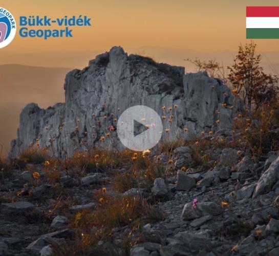
The Bükk-Region Aspiring UNESCO Global Geopark covers one of the most complex geological environments in Hungary. Those who wander in this unparalleled mountainous region, witnessing its history spanning millions of years can truly understand the message of the rocks; permanence, persistence, progress and the keeper’s role
Lesvos Island is the third largest Greek island. Lesvos’ Petrified Forest, its unique wealth of geological monuments, landscapes of natural beauty, areas of ecological value and its rich archaeological and cultural heritage have contributed to the island’s recognition as UNESCO Global Geopark.
The Cliffs of Fundy Geopark is located on the north shore of the Minas Basin in the Bay of Fundy. The Geopark is located in Mi'kma'ki, the unceded and traditional territory of the Mi'kmaw people. The Geopark is home to the highest tides in on Earth and showcases the assembly and breakup of the supercontinent Pangea.
The Cliffs of Fundy Geopark is located on the north shore of the Minas Basin in the Bay of Fundy. The Geopark is located in Mi'kma'ki, the unceded and traditional territory of the Mi'kmaw people. The Geopark is home to the highest tides in on Earth and showcases the assembly and breakup of the supercontinent Pangea. (subs)
Papuk UGGp is situated in the eastern part of Croatia, in the Slavonia region.
The visitor centre "House of Pannonian Sea" in Velika was renovated and now features one of Papuk’s most interesting geological stories about the long-gone Pannonian Sea.
Stonehammer Geopark is a 2,500km region in Southern New Brunswick, Canada, on the shores of the Bay of Fundy. It is located on the traditional unsurrendered and unceded territories of the Wolastoqiyik, Peskotomuhkatik and Mi’kmaq peoples and has a geologic history going back 1 billion years and a human history over 12,000 years. (subs)
Tabas UNESCO Global Geopark with an area of 22771 km2, is located in the northwest of South Khorasan province, acting as a transportation highway from south and west to east and northeast of Iran in a desert area with a hot and dry climate. Many geologists have called Tabas the geological paradise of Iran.
Lushan UNESCO Global Geopark is located in the northern part of Jiangxi Province, China. It covers an area of 548 km2. She is the first Chinese world heritage cultural landscape in the UNESCO World Heritage list in 1996, and was inscribed as one of the first members of GGN in 2004.
Lushan UNESCO Global Geopark is located in the northern part of Jiangxi Province, China. It covers an area of 548 km2. She is the first Chinese world heritage cultural landscape in the UNESCO World Heritage list in 1996, and was inscribed as one of the first members of GGN in 2004. (subs)
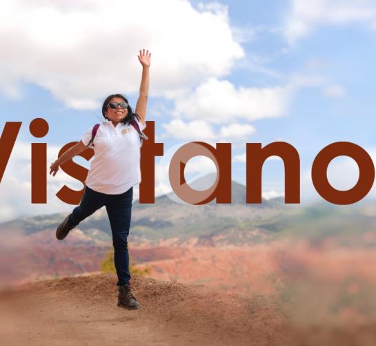
Mixteca Alta, Oaxaca UNESCO Global Geopark is located in the Sierra Madre del Sur physiolograpical province, a mountain region bounded on the north by the Mexican Volcanic Belt. From a geological point of view, this region is considered the most complex of Mexico. (subs)
Mixteca Alta, Oaxaca UNESCO Global Geopark is located in the Sierra Madre del Sur physiographical province, a mountain region bounded on the north by the Mexican Volcanic Belt. From a geological point of view, this region is considered the most complex of Mexico.
Located in the State of Ceará, Brazil, in a region known as Cariri Cearense, the Araripe UGGP is the first UNESCO Global Geopark of the Americas. It extends over an area of 3.789 Km², with 11 open geosites and covers six municipalities, focused on the geodiversity of the Araripe Basin and all its added values.
Stonehammer Geopark is a 2,500km region in Southern New Brunswick, Canada, on the shores of the Bay of Fundy. It is located on the traditional unsurrendered and unceded territories of the Wolastoqiyik, Peskotomuhkatik and Mi’kmaq peoples and has a geologic history going back 1 billion years and a human history over 12,000 years. (subs)
The Arouca Geopark isn't a place to get to...it is our place in history. In the history of the Earth, in the history of Humanity. Throughout its 328 km2, the Arouca UGGp hosts a unique heritage that deserves to be visited. Here, biology, history and culture cohabit in perfect harmony with geology, highlighted in its 41 geosites.
The Seridó Geopark is located in the northeast of Brazil, has a geological heritage that dates back to the last 600 million years, with emphasis on Scheelite mineralizations. The region is also marked by the Caatinga, the only exclusively Brazilian biome. It's a territory of hardworking people, proud of their land.
The Seridó Geopark is located in the northeast of Brazil, has a geological heritage that dates back to the last 600 million years, with emphasis on Scheelite mineralizations. The region is also marked by the Caatinga, the only exclusively Brazilian biome. It's a territory of hardworking people, proud of their land. (subs)
Narramos la historia del territorio llamado Valle del Zaquenzipa, es un recorrido desde la prehistoria con las huellas paleontológicas y geológicas que cubren nuestra tierra y hace parte de la vida de los pobladores, este valle interandino ofrece tierras ricas en vegetación, desierto y agua que dan la bienvenida a todo el mundo
El Hierro UNESCO Geopark is located in the El Hierro Island. The most important task of this Geopark is the vulcanism.
The Lavriotiki district is one of the oldest mining districts in the world, with evidence of early mining from the Late Neolithic period over 5.200 years ago. Worldwide, there is no comparable area like Lavriotiki, combining exemplary mineralogical, geological, mining and archaeological characteristics.
The Lavriotiki district is one of the oldest mining districts in the world, with evidence of early mining from the Late Neolithic period over 5.200 years ago. Worldwide, there is no comparable area like Lavriotiki, combining exemplary mineralogical, geological, mining and archaeological characteristics. (subs)
El Hierro UNESCO Geopark is located in the El Hierro Island. The most important task of this Geopark is the vulcanism. (subs)
Our film explores the captivating landscapes, diverse ecosystems, and the rich geological history of our geopark. Through stunning visuals and compelling storytelling, we aim to inspire and educate viewers about the importance of preserving and appreciating our natural and cultural heritage. (subs)
The Oeste aspiring Geopark has a total area of 1154km2. The 72km of Atlantic coastline are a great attraction for locals and occasional visitors. Also, the geological landscapes and the rock exposure in the coastal cliffs with dinosaurs, attract interested people, researchers and scientific tourists from all over the world. (subs)
The Oeste aspiring Geopark has a total area of 1154km2. The 72km of Atlantic coastline are a great attraction for locals and occasional visitors. Also, the geological landscapes and the rock exposure in the coastal cliffs with dinosaurs, attract interested people, researchers and scientific tourists from all over the world.
Ngorongoro Lengai Geopark the only protected area in Sub-Saharan Africa with internationally significant geological features, and which opens its doors to tourism, conservation, education, and research concerning not just geology but other relevant sciences.
Ngorongoro Lengai Geopark is the only protected area in Sub-Saharan Africa with internationally significant geological features, and which opens its doors to tourism, conservation, education, and research concerning not just geology but other relevant sciences. (subs)
Taining UNESCO Global Geopark is located in Taining County, the northwestern part of Fujian Province, China, with a total area of 492.5 square kilometers. It’s a comprehensive geopark with Danxia landform as the main body, satisfying the purposes of scientific research, scientific education, sightseeing, relaxation and vacation. (subs)
Taining UNESCO Global Geopark is located in Taining County, the northwestern part of Fujian Province, China, with a total area of 492.5 square kilometers. It’s a comprehensive geopark with Danxia landform as the main body, satisfying the purposes of scientific research, scientific education, sightseeing, relaxation and vacation.
